Walking and Hiking
Parks, towns, and forests of Central Vermont welcome walkers and hikers
14 listings
Chittenden, VT
Mountain Top Resort
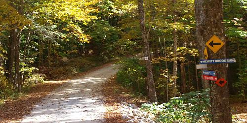
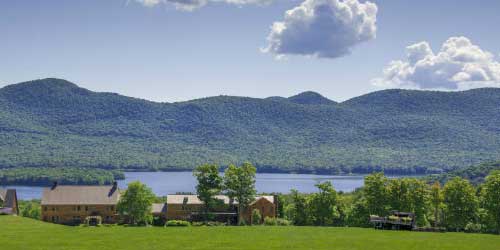
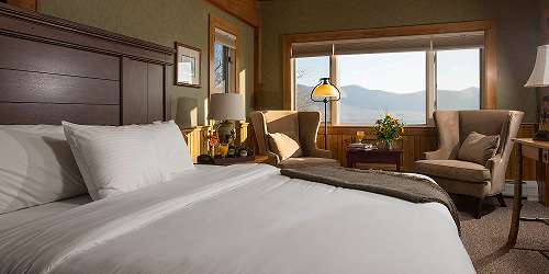
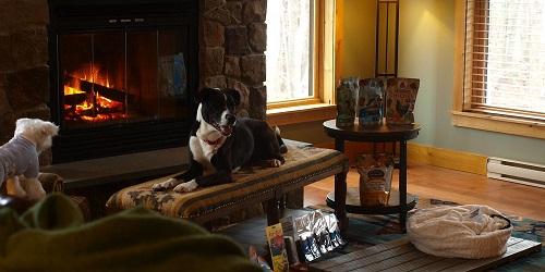
195 Mountain Top Road 802-483-2311Woodlands, meadows, trails make this secluded mountain resort a paradise for hikers
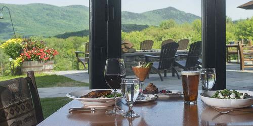
You could say that the Mountain Top Resort, perched on top of a central Vermont mountain with over 700 private acres of woods and meadows, is a hiker’s paradise. The four-season resort includes 60 miles of wooded trails, manicured meadows and quiet country lanes. Ask for a picnic lunch to be packed for you before you head out to enjoy the sights and sounds of nature at its finest. The trails link up with access to the popular Long Trail. Or, opt for a leisurely stroll down a country lake to the lake. After your hike, consider a luxurious massage in the on-site spa, a few relaxing minutes in the sauna or a good soak in the year-round hot tub or heated in-ground swimming pool.
Pittsford, VT
Pittsford Trail Network
Near Route 3 and Route 7This trail network around the town of Pittsford is maintained by volunteers and is open year-round for walking, bird watching, jogging, snowshoeing, hiking, and cross-country skiing. Trails are well-designated and they cross open fields, wander along rivers and waterfalls, and move through woodlands. This website has many excellent printable or online maps to help you choose a trail for your walking needs. - Trail Map 1 (PDF) - Trail Map 2 (PDF)
Killington, VT
Gifford Woods State Park
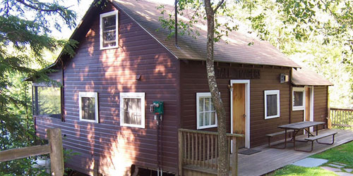
34 Gifford Woods Access Road 802-775-5354Good hiking and access to Appalachian Trail; pets permitted, but not in cabins
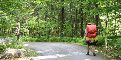
Two major hiking trails meet at Gifford Woods State Park: The Appalachian Trail and the Long Trail. Green Mountain National Forest and Coolidge State Forest, both nearby, also offer loop hikes. Wonderful views from the Deer Leap Mountain trail and beautiful waterfalls on Thundering Brook Trail. - Summer Trail Map (PDF) - Winter Trail Map (PDF)
Hubbardton, VT
Half Moon Pond State Park
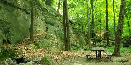
1621 Black Pond Road 802-273-2848Family and kid-friendly camping park has lots of trails; good trail map
The park has a very large trail system that includes short walks to full-day hikes. - Trail Map (PDF)
Brandon, VT
Branbury State Park Trails
3570 Lake Dunmore Road 802-247-5925Mix of easy and difficult trails including a waterfall; two trails offer hiking for kids
Branbury State Park is next to the Green Mountain National Forest and the Moosalamoo Recreation Area. There are over 70 miles of trails in this region of mountains and lakes traversing the western slopes of the Green Mountains.
Popular trails are the Falls of Lana trail, which leads to a series of cascading falls; Rattlesnake Point, which has breeding peregrine falcons and panoramic views of Lake Dunmore; and Silver Lake, a hike to a small, scenic mountain lake. - Trails Map (PDF)
Woodstock, VT
Mount Peg
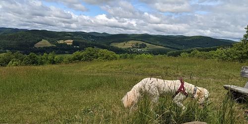
Parking and trail head at Maple and Golf streetsThis sweet trail starts just outside the beautiful town of Woodstock. The trailhead is steep at first as it moves through the woods, but it evens out to a gentle grade. Views at the summit include Ottauquechee River Valley, Mount Tom, Billings Farm and Museum, Pomfret Hills, and Killington Mountain. Round trip is about 2.5 miles.
Directions: Leaving the center of Woodstock, walk or drive down Court Street between Courthouse and Woodstock Inn. At the end of Court Street turn left and then make a right on to Golf Avenue. Continue on Golf Avenue to Maple Street. At Maple and Golf Streets see parking on left. Trailhead is to the left off the driveway. - Trail Map courtesy of Woodstock Inn (PDF)
Outside of Woodstock, VT
Trails of Mount Tom
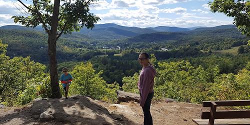
at Marsh-Billings-Rockefeller National Historical ParkThe hill in the center of town on the banks of the Ottauquechee River can be reached by three trails:
The Faulkner Trail -- The walk is about 30 minutes for the average hiker and provides a magical view of Woodstock. Near the top the trail gets steep, narrow and a bit tricky for about 100 yards.
River Street Cemetery Trail -- A less traveled trail with fewer markings. This trail will take you past the Swift Water Girl Scout cabin and up to the Link Trail. Or you may bear right to walk to the trails at the Marsh Billings Rockefeller Historic National Park.
Prosper Road Trail Head -- This is an easy walk on wide carriage roads. There is parking. Maps are often available.
Woodstock, VT
Eshqua Bog Natural Area
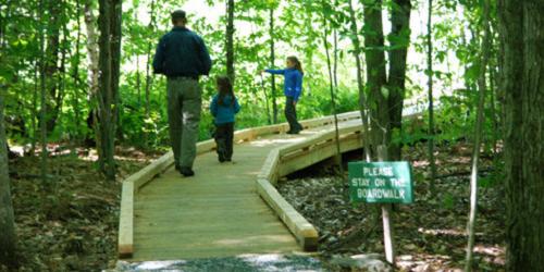
Garvin Hill RoadWheelchair-accessible boardwalk; plentiful lady's slippers in June
Eshqua Bog Natural Area is a botanical garden and home to the lady’s-slipper orchid. Eshqua Bog Natural Area has a wheelchair-accessible boardwalk with several viewing platforms . The property is managed by The Nature Conservancy of Vermont and The Native Plant Trust (formerly the New England Wildflower Society).
Directions: From I-89 take Exit 1 to for Route 4 west toward Woodstock and Rutland. Drive 10.4 miles to where Route 4 makes a sharp bend to the right. Turn left on Hartland Hill Road. Drive 1.2 miles and bear right onto Garvin Hill Road. Drive another 1.2 miles and look for the Nature Conservancy parking area on the right. The well-marked trail is on the right, just beyond the pull off.
Weston, VT
Weston Village
The central Vermont Village of Weston is a picture of small-town Vermont simplicity and loveliness. The center of the village is the Green, also called Farrar Park, on Route 100, where a gazebo is brightly lit at Christmas. Walking southward on Route 100, you may pass the Weston Village Store, the Village Green Gallery, the Vermont Country Store, and the Farrar-Mansur house museum (built in 1797). Walking northward, you will see the Weston Playhouse and Maple Grove Cemetery.
Quechee, VT
Quechee Gorge State Park Trail
Visitor Center at 6054 Woodstock Road (U.S. Route 4) 802-295-6852Four hiking loops of 1 to 2 miles with moderate rating; good for kids
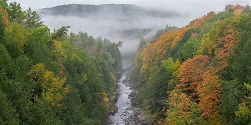
This walk, doable by almost anyone, gives fabulous view of Quechee Gorge, sometimes called the Grand Canyon of the East. Also near the walk and the gorge is Quechee Gorge Village with lots of shopping for adults and children. Great place to browse and pick up vacation mementoes.
The walk alongside Quechee Gorge is one to two miles and easy, except for a mild elevation gain. The walk gives you a view of the Gorge and then takes you along the gorge, past waterfalls and Dewey's Mill Pond. Start at the visitor center and follow the spur trail behind the building to the main trail. Turn right, walking upstream. At the Route 4 overpass, notice a good view of the gorge from the highway bridge. Continue upstream on the trail; you will see a dam, waterfalls, and a neck of land that runs between Ottauquechee River and Dewey's Mill Pond.
Season is mid-May to late October.
Groton, VT
Groton Forest and Kettle Pond Trails
Park HQ and Nature Center, 44 Stillwater Road (off Route 232) 802-584-3822Several easy hikes of 0.25 to 3 miles; good for kids
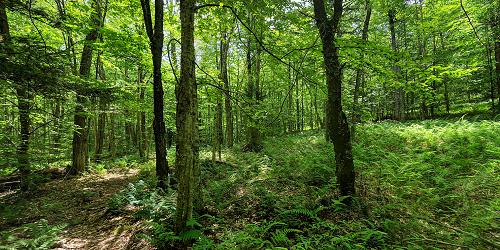
Groton State Forest encompasses Kettle Pond, Big Deer, Ricker Pond, and New Discovery State Parks. The forest has many miles of marked trails for hiking, biking, horseback riding, snowmobiling, snowshoeing, and cross-country skiing. Below are a few trails in the forest:
Kettle Pond Trail and Kettle Pond Portage Trail: This moderate walk goes around a secluded lake. (3 miles)
Owls Head Trail: An easy walk to a scenic vista of Lake Groton, Kettle Pond, and the Green Mountains. (1.5 miles)
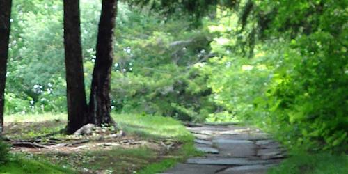
Montpelier Wells River Rail Trail: Good place for walking, bicycling or horseback riding. Gradual, 7-mile grade through the state forest. (7 miles) -
Randolph, VT
Allis State Park
284 Allis State Park Road 802-276-3175Rustic camping; picnicking, hiking; free day use; pets allowed
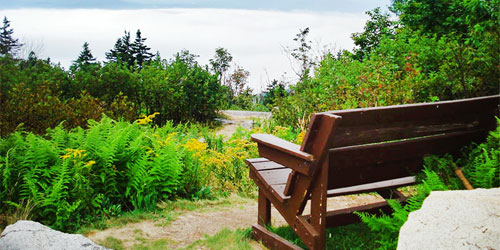
This park is for rustic camping, walking and hiking on trail loops that offer a tough workout. Views are magnificent: sweeping views of Killington, Pico, Mount Ascutney, Camel’s Hump and Mount Mansfield, and the White Mountains of New Hampshire. Bear Hill was once a fire lookout location.
An interesting nature trail (PDF), accompanied by a detailed online guide, describes trees and other plants and wildlife. - Interactive Campground Map (PDF)
Castleton, VT
Bomoseen State Park Trails
22 Cedar Mountain Road 802-265-4242Selection of moderate and easy trails, 0.75 to 1.5 miles; good walk for kids
Bomoseen State Park is in the Taconic Mountains on the shores of Lake Bomoseen. These mountains are the slate-producing region of Vermont, and the park contains several quarry holes and colorful slate piles as reminders of this period. Several hiking trails go through woodlands and pass ponds and provide great hiking and wildlife-viewing opportunities. Not far from this park is the town of Rutland, with attractions for families, especially related to the quarrying industry.
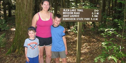
Trails include the Bomoseen Hiking Loop of 1.5 miles and the Glen lake Trail of 4.5 miles, both of moderate difficulty; and the Slate History Trail and the Daniel Coffey Memorial Trail, both 0.75 miles and rated easy. - Trail Map (PDF)
Windsor, VT
Mount Ascutney State Park
1826 Back Mountain Road 888-409-7579Great for hiking & hang gliding; pets permitted
The park entrance is 550 feet above sea level and a paved road travels to the summit at 2,800 feet. Four trails run from the base of Mount Ascutney to the summit. They are joined by a trail that follows the ridge. The Weathersfield Trail passes Cascade Falls. The Windsor Trail passes a small waterfall. The Brownsville Trail follows a logging road and old granite quarry. The paved Mount Ascutney Parkway reaches the summit. A side trail leads to an observation tower at the summit. - Trail Map (PDF)