Scenic Drives
Central Vermont has scenic, foliage drives that will stay in your memories
Vermont (VT) Scenic Drives and Byways. Find directions and maps for scenic drives and byways, for viewing fall foliage and all other times of the year
3 listings
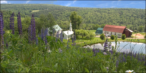
Brattleboro, Bellows Falls, Windsor, White River Junction, Wells River, St. Johnsbury, VT
Connecticut River National Byway
Route 91 in Vermont; Routes 2 and 3 in New HampshireThe Connecticut River Byway parallels and occasionally cross the eastern and western shores of the Connecticut River, which forms most of the border between Vermont and New Hampshire. The byway and its river trace the history of the region from long before the European arrival on this contnent. On this byway, visitors can drive across a 465-foot covered bridge that dates from 1866, explore restored historic railroad stations that now serve as waypoint centers, and visit farms, antique shops, artists’ studios and breweries. Vermont Byway Maps
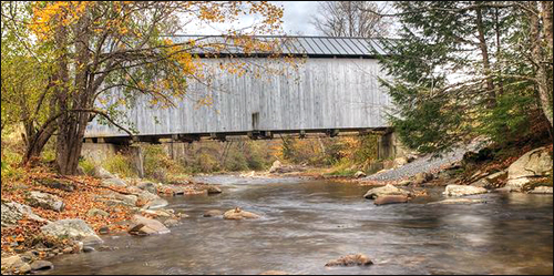
Granville, Warren Waitsfield, Moretown, Middlesex, VT
Mad River Scenic Byway
Routes 100 and 100BLength: 35 miles
The Mad River Byway is a foray through the heart of Vermont, passing around or through lovely and lively downtowns, farms, famous ski areas (Sugarbush and Mad River Glen), and historic sites. A pleasant walk along the Mad River is accessible via the well-planned, mapped, and landscaped Mad River Path through and around Waitsfield.
Driving directions: The Mad River Byway takes you along two of Vermont's most scenic roads, Routes 100 and 100B. Along the way you'll find Middlesex Village (Route 2); Moretown (Route 100B); Waitsfield, Warren, Granville Gulf Reservation (Route 100); Fayston, and Buels Gore to the top of the Appalachian Gap (Route 17).
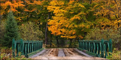
Hubardton, Castleton, Poultney, Wells, Pawlet, Rupert, Dorset, Manchester, VT
Stone Valley Scenic Byway
Route 30Length: 30 miles
The Stone Valley Scenic Byway travels through the center of the center of Vermont, where the state's slate and marble quarrying and production history is visible on all sides, along with historic, picturesque towns and farms. Vermont Byway Maps